 Photo: Gordon Hatton (CC BY-SA 2.0)
Westdale Bay
Fifteen minutes' walk across the peninsula from Dale and a completely different sea — open Atlantic sand, and dangerous swimming.
The Dale peninsula is so narrow that you can walk from the sheltered village beach to the open Atlantic in about fifteen minutes on a track across the fields. Westdale Bay is what you find on the far side: a wide sandy beach between red sandstone cliffs, facing straight west into St Brides Bay, exposed to everything.
It is a genuinely fine-looking beach and a genuinely hazardous one. There are strong rips here, the bottom shelves and shifts, and there are no lifeguards. Local advice has long been that swimming at Westdale is not sensible; surfers who know the break use it, but casual bathers should walk back over the hill to Dale. Take that seriously — it's the kind of beach that looks benign on a sunny day and isn't.
As a walk, a picnic spot and a place to watch the sun go down it's excellent, and it's usually near-empty because there's no road, no car park and no facilities. The final descent to the sand is a short scramble that's been eroded in places. From the beach, the Coast Path south climbs to Great Castle Head with its Iron Age fort and then on towards St Ann's Head; north it runs towards Marloes Sands and Musselwick. The Dale-to-Westdale-and-back loop is the easiest way to get a taste of the open coast if you're staying in the village with limited time.
Where to eat and drink near Westdale Bay
The nearest pubs, cafés and restaurants, closest first. Walking times are rough estimates on lane and cliff path — check opening hours before you rely on one.
1.3km away · about 20 min walk
Dale, SA62 3RB
Three-hundred-year-old pub on Dale's sea wall at the mouth of the Haven — lobster from pots in the bay, Bluestone ales and its own amber beer, and the last pub standing of a village that once had fifteen.
- Phone
- +44 1646 636227
- Website
- griffindale.co.uk
1.4km away · about 20 min walk
2.6km away
 Photo: Basher Eyre (CC BY-SA 2.0)
2.7km away
Runwayskiln Café
Café- Opening hours
- Bank holidays, Monday–Saturday: 09:00–17:00
2.9km away
Things to do near Westdale Bay
- Vomit Point — 2.5km
- Dale Fort — 2.7km
- West Blockhouse Fort — 3.0km
- Cobbler's Hole — 3.1km
- Pembrokeshire Islands Boat Trips (Skomer boat) — 4.9km
- Pump House — 5.1km
- Thorn Island Fort — 5.2km
The next few hours
Nearest forecast point: St Brides Bay
dry for the next few hours, around 12°C, breezy, gusts near 24 mph.
01:00
12°
Fair
W 24 mph
02:00
12°
Clear
W 24 mph
03:00
12°
Clear
NW 24 mph
04:00
12°
Clear
NW 24 mph
05:00
12°
Fair
NW 23 mph
06:00
12°
Clear
NW 22 mph
07:00
12°
Clear
NW 22 mph
08:00
12°
Clear
NW 23 mph
Forecast from MET Norway, used under CC BY 4.0. It's a forecast for the nearest of six points across the county, not for this exact spot — on a coast this shaped, one headland can be in sun and the next in rain.
Light today at Westdale Bay
- Sunrise
- 07:35
- Sunset
- 18:43
- Daylight
- 11h 8m
The light goes gold from about 17:57, and this beach faces the sunset.
Calculated for these coordinates, accurate to a minute or so. A cliff or a headland to your west will take the sun sooner than this suggests.
Tides near Westdale Bay
Dale Roads · about 2 miles away
High water
06:37
Sat 10 Oct · 7.0m
Low water
12:49
Sat 10 Oct · 0.6m
High water
18:54
Sat 10 Oct · 7.2m
Low water
01:11
Sun 11 Oct · 0.6m
Predicted times from the UK Hydrographic Office. Wind and pressure shift real water levels, and the tide at a specific cove can run earlier or later than its port. Never plan a tidal crossing on this alone.
Parking at Westdale Bay
OpenStreetMap
One car park within a mile of the sand. The nearest is about 1.3km (0.8 miles) away — roughly a 25-minute walk if you park there and carry everything in.
- 1.3km (0.8 miles)
Not recorded · about 129 spaces · Pembrokeshire County Council
Distances are straight-line from the beach, so the walk is usually longer — and on this coast it is often downhill on the way there. Charges and space counts come from OpenStreetMap contributors and can go out of date; we don’t print prices, because the map records whether a car park charges, not how much. In July and August the popular ones fill by mid-morning.
Visitor reviews
No reviews yet — been to Westdale Bay? Tell people what it was actually like.
Write a review
Westdale Bay: common questions
Can I take a dog to Westdale Bay?
Dogs welcome all year — no seasonal restriction under Pembrokeshire County Council's summer beach bans. Leads near the grazed clifftops on the approach.
Where do you park for Westdale Bay?
The nearest car park we map is Dale, about 1.3km (0.8 miles) away (£1.50 an hour, £3 for two hours, £4.50 for four, £6 for 24 hours, £30 a week. seasonal charging.).
Are there toilets at Westdale Bay?
We don't have public toilets mapped within a mile of Westdale Bay. Assume there are none and plan around it.
Answers are generated from what we actually hold in our database and refreshed as it changes. Opening hours, dog rules and prices move — check with the venue before you travel.
Stay near Westdale Bay
Hand-picked places to stay within a mile or so, nearest first. Our picks are data-driven — we haven’t stayed — and we earn a commission when you book through a partner link. How that works.
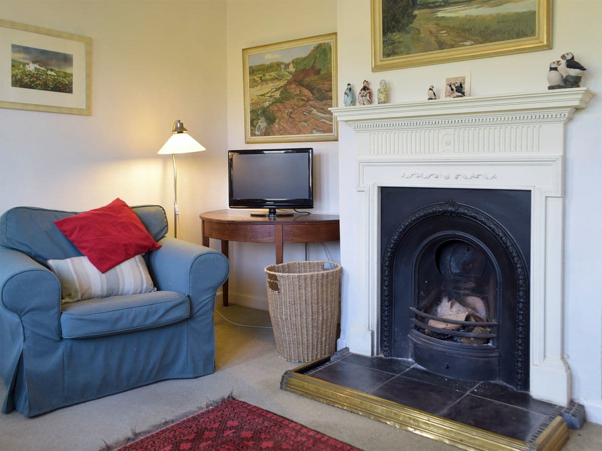
Dale · Sleeps 5 · 3 beds
- 0.6 miles away
- Best for: Families of five · walk-to-the-pub stays
Bookable via cottages.com
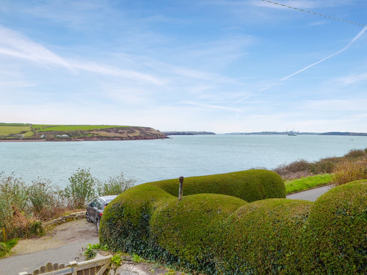
Dale · Sleeps 2 · 1 bed
- 0.8 miles away
- Best for: Couples · dog owners
Bookable via cottages.com
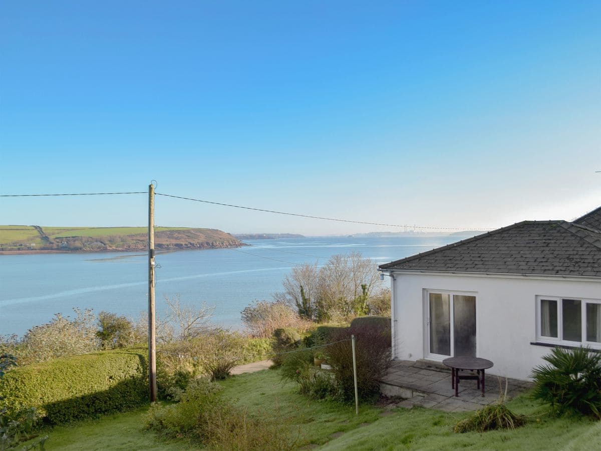
Dale · Sleeps 5 · 3 beds
- 0.8 miles away
- Best for: Sailing families · sea views
Bookable via cottages.com