 Photo: Ant Griffo (CC BY-SA 4.0)
Crymych
The Preseli Hills' market village: strongly Welsh-speaking, unshowy, and the best road-end for the Golden Road ridge walk.
Crymych is a working village on the A478 at the eastern end of the Preseli Hills, and it is the place to understand that Pembrokeshire is not only a coastline. It grew around the railway and the livestock trade, and it remains a service centre — shops, a garage, a secondary school, a livestock market tradition — in one of the most robustly Welsh-speaking areas of Wales. Visitors are not catered for here in any obvious way, which is exactly why some people prefer it.
The hills are the attraction. From the lanes just west of the village you can walk onto Foel Drygarn, an Iron Age hillfort crowned with three Bronze Age cairns, and pick up the Golden Road — the ancient ridgeway that runs the length of the Preselis past Carn Menyn, where some of the Stonehenge bluestones were quarried, to Foel Cwmcerwyn, at 536 metres the highest point in Pembrokeshire. On a clear day the view from the ridge takes in Cardigan Bay, the Gower and, occasionally, Ireland and Snowdonia. In cloud it is featureless moorland where a map and compass matter.
As a holiday base this is upland, not coastal: expect rain, wind and sheep, and expect to drive twenty to thirty minutes to reach the sea at Newport or Poppit. Prices reflect that and are among the lowest in the county. Newport, Nevern and Pentre Ifan are fifteen to twenty minutes west; Cardigan twenty north; Narberth and the south coast about forty. For walkers, riders and anyone who wants dark skies and no queues, it is a genuine option.
Where to stay in Crymych
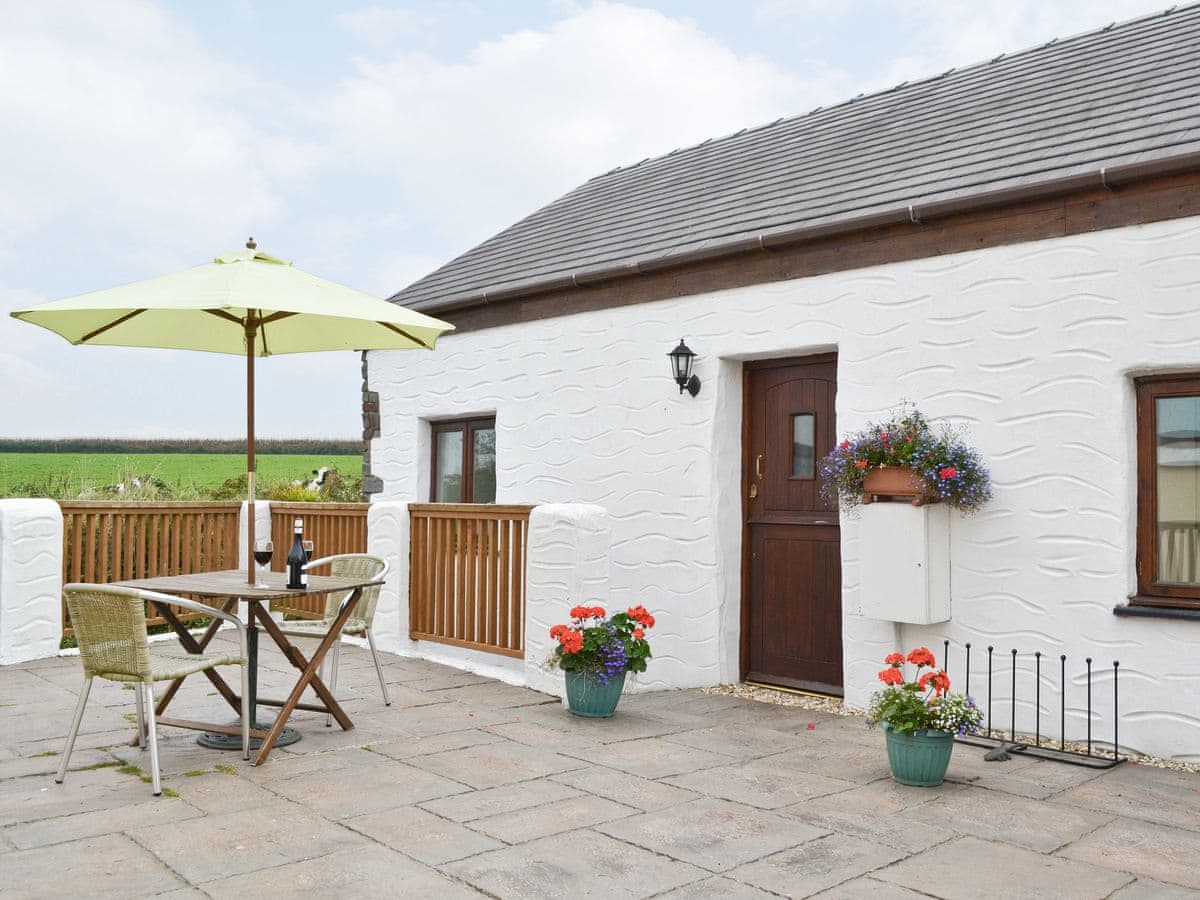
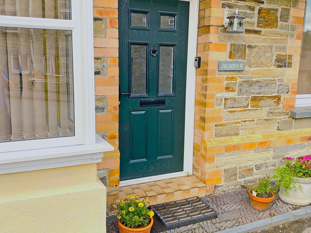
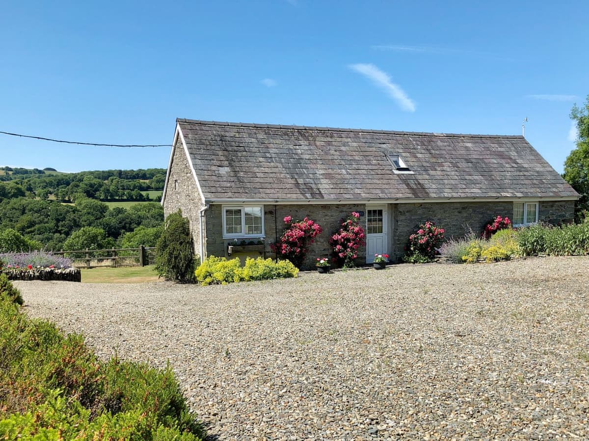
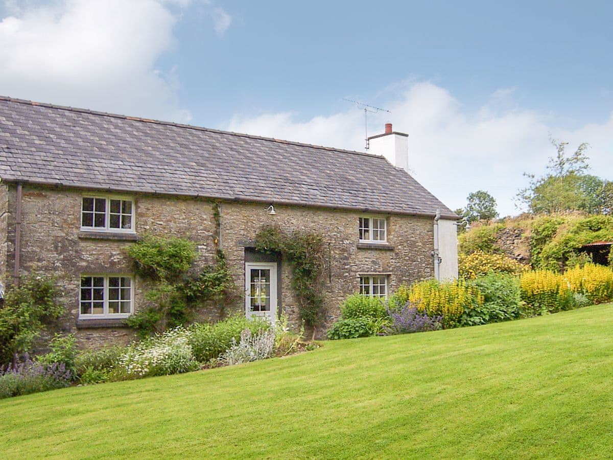
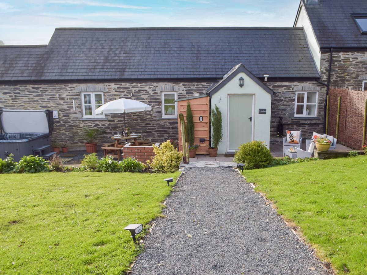
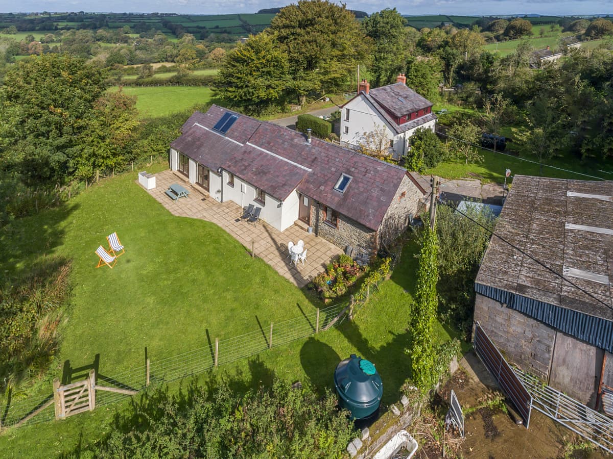
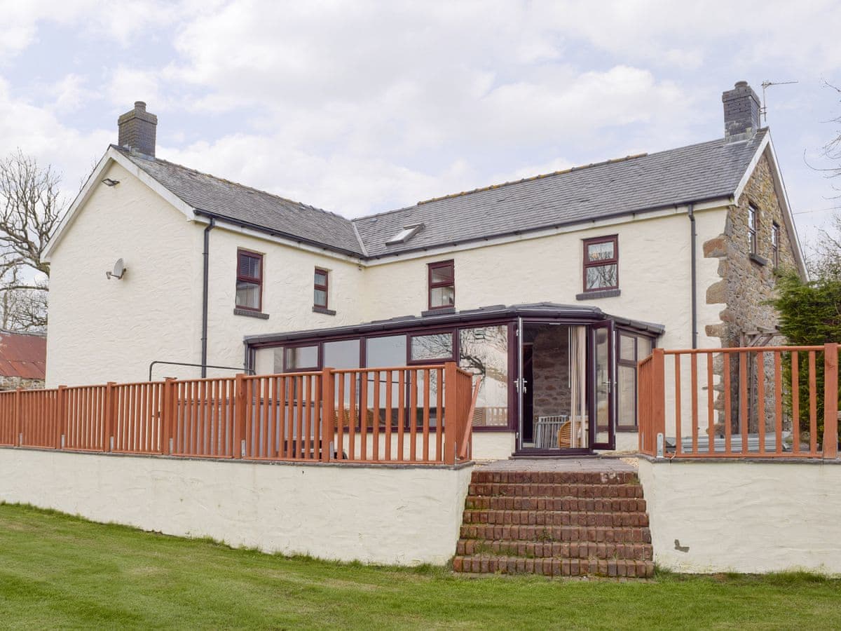
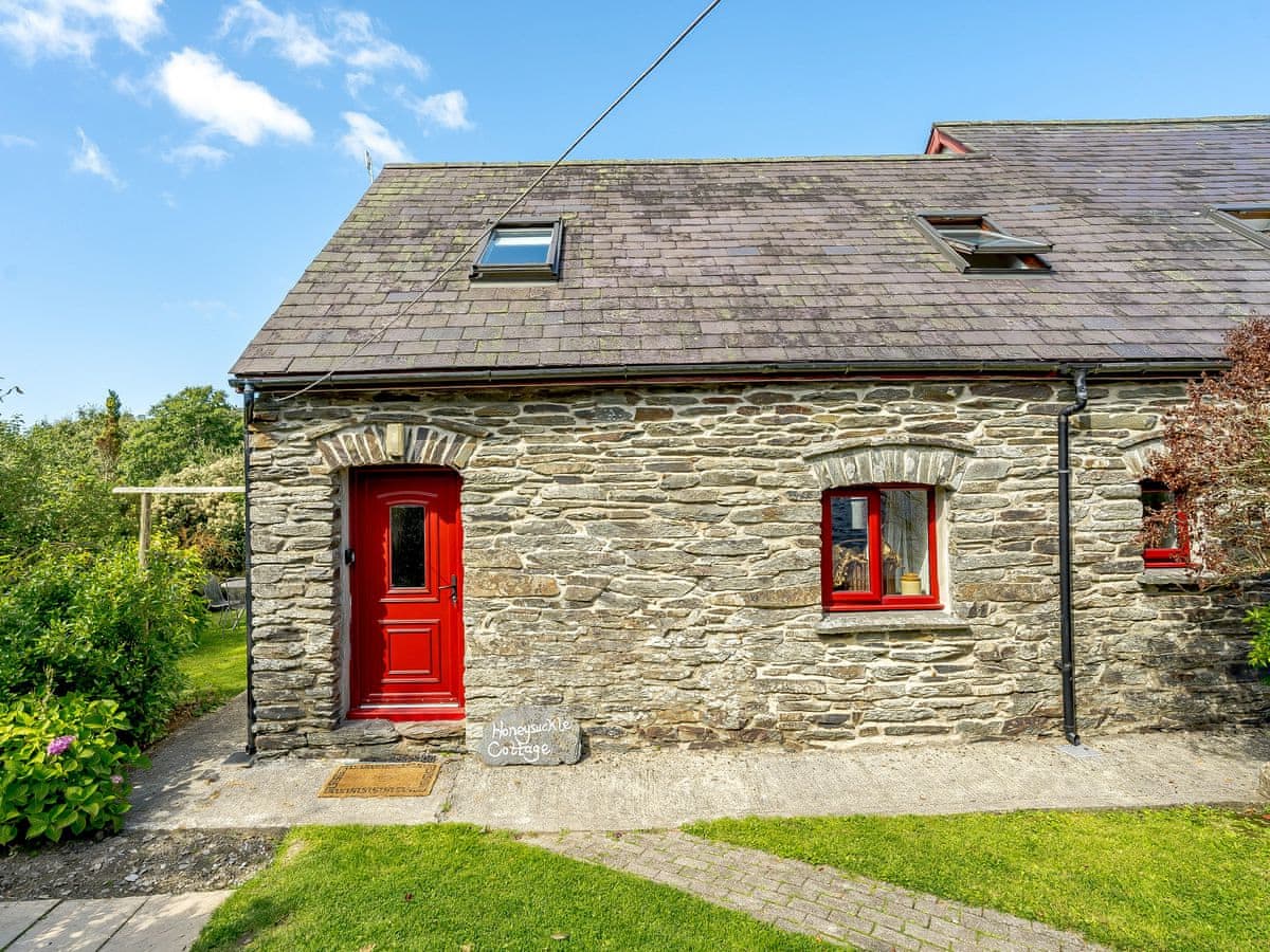
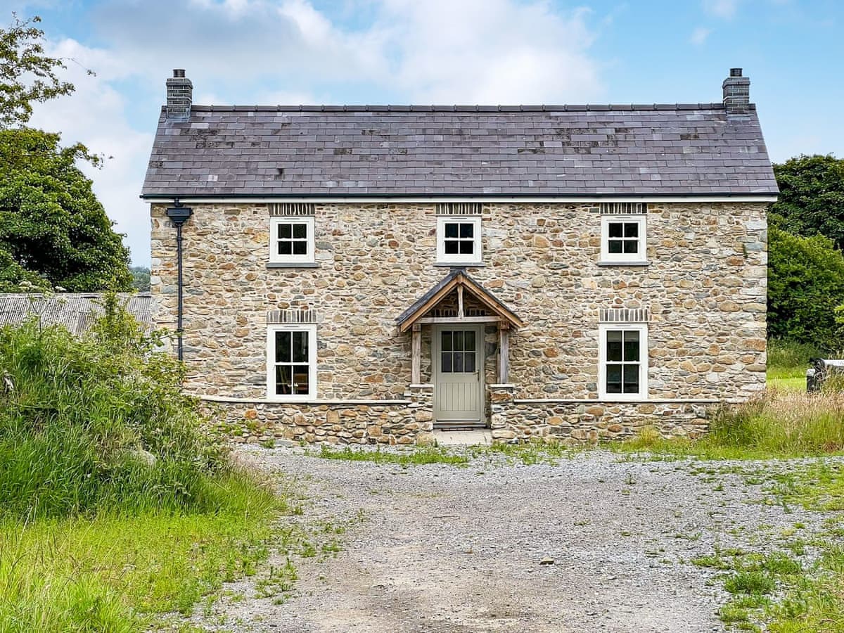
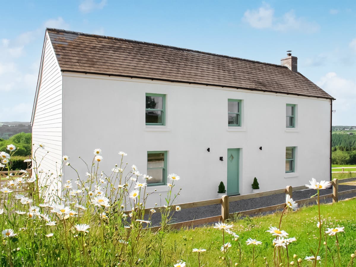
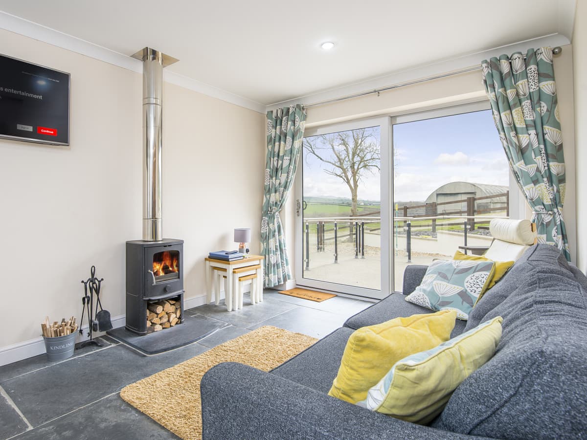
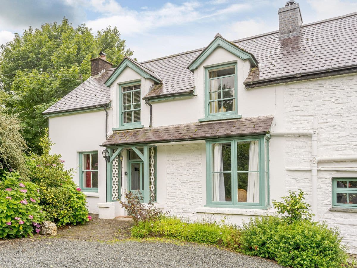
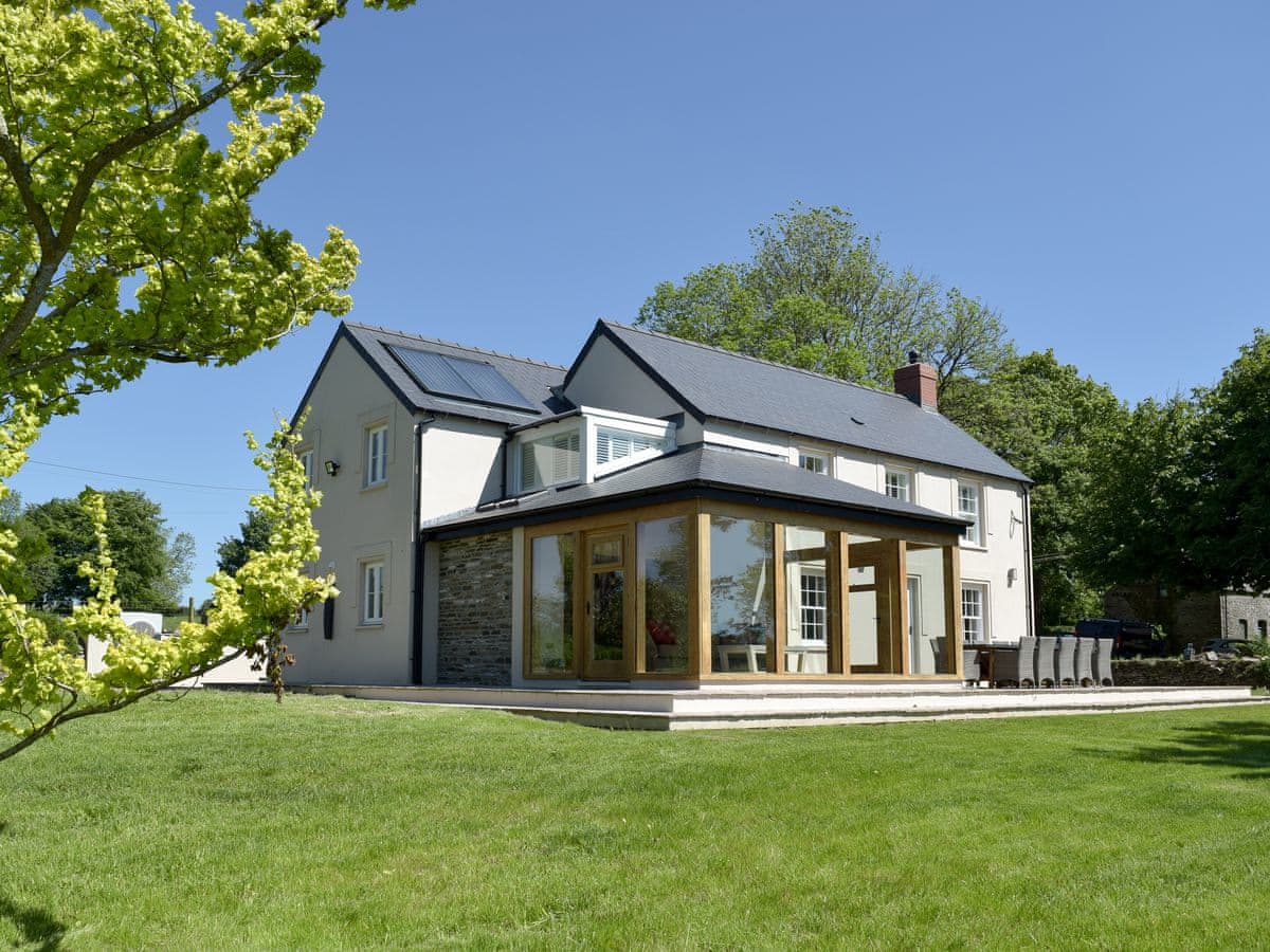
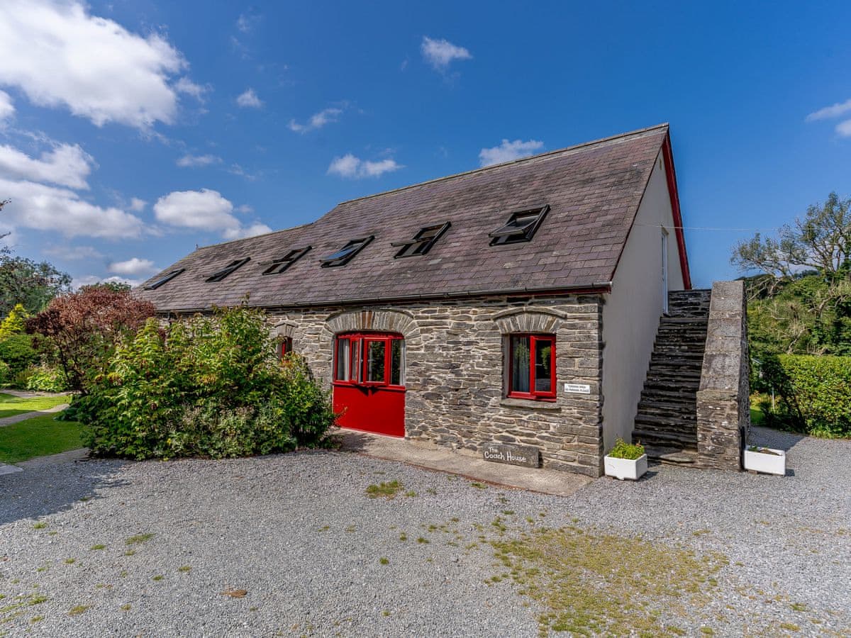
Accommodation is mostly farmhouses, converted barns and small cottages scattered around the village and up the lanes towards the hills — space, parking, wood burners and very dark skies, generally at low cost. Village properties put shops and a fuel stop in walking distance, which matters more here than on the coast.
Getting there
On the A478 between Cardigan and Narberth. The nearest railway station is Clunderwen on the West Wales line, about fifteen minutes south by car.
Stays in Crymych by feature
Places to stay in Crymych
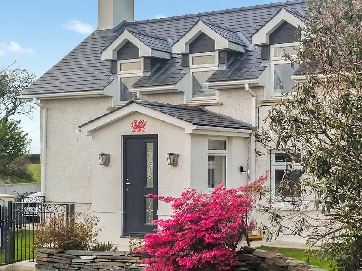
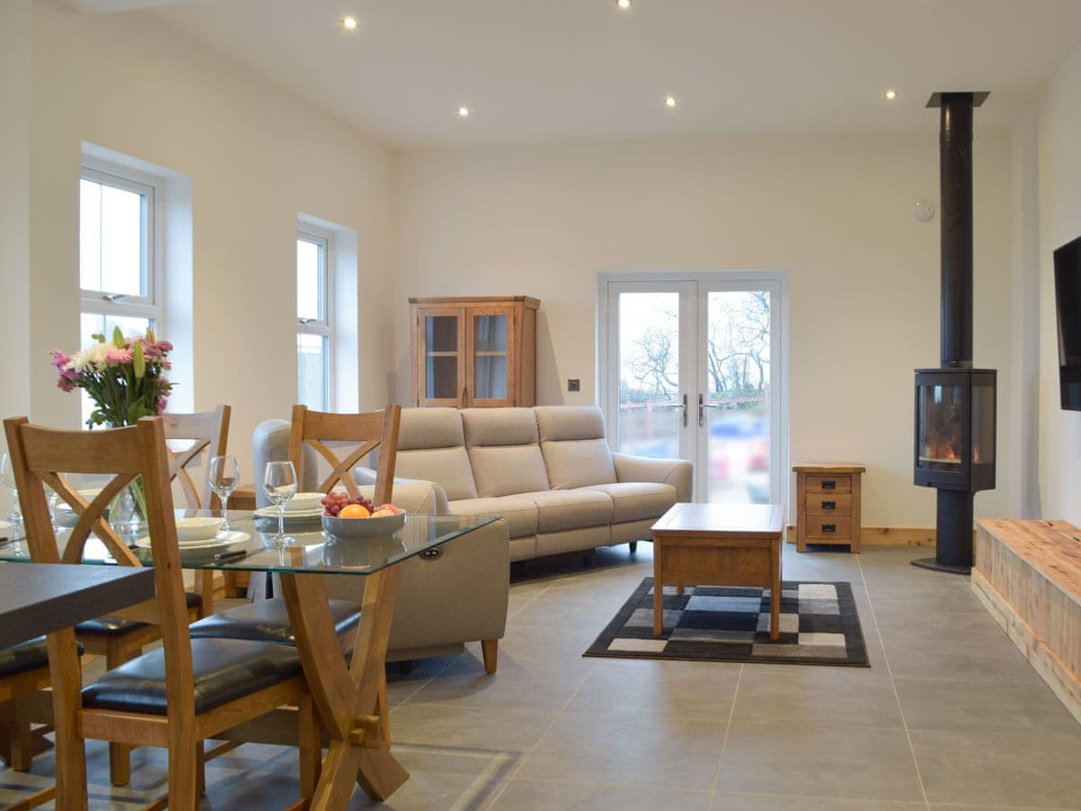
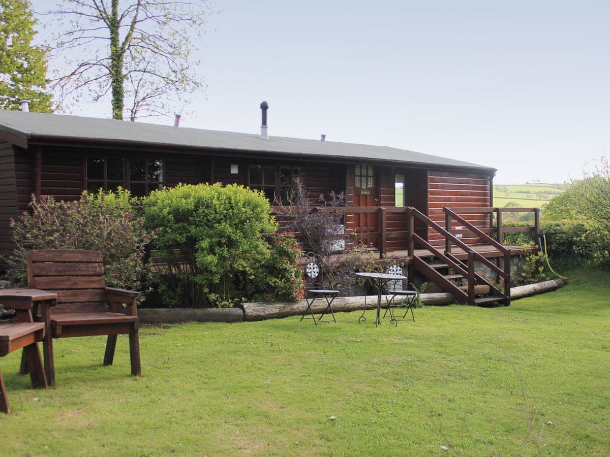

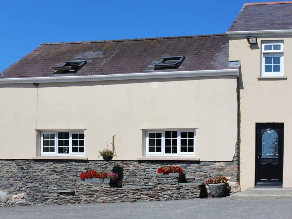
Eating out and things to do in Crymych
Pubs, restaurants, cafés, attractions and activities in and around Crymych.
Everything to do in and around Crymych, in one place →
Parking (2)Pubs (3)B&Bs & guest houses (1)Cafés (3)Fuel (1)Campsites (2)Ancient sites (7)Butchers & bakers (1)Vets (1)Shops (4)Post & cash (2)Defibrillators (4)
 Photo: Dave Price (CC BY-SA 2.0)
Foel Drygarn Hillfort
Ancient siteIron Age hillfort crowned by three huge Bronze Age cairns on the eastern Preselis — hundreds of hut platforms inside the ramparts and one of the great prehistoric viewpoints of Wales.
Countryside inn near Crymych under the eastern Preselis — a proper Welsh-speaking-country local.
The Falls Bed & Breakfast
B&B / guest houseThe Falls
- Phone
- +44 1239 698522
- Website
- thefallsbandb.co.uk
Coastal walks near Crymych

Foel Cwmcerwyn and the Preseli Ridge
The highest ground in Pembrokeshire, with Bronze Age cairns on top and the Stonehenge bluestone outcrops along the ridge to the east.
4.5 miles · 2½–3 hours · Moderate

St Dogmaels to Poppit Sands
The official start of the Coast Path, and by far its gentlest stage: a flat two and a half miles down the Teifi estuary to a big sandy beach.
2.5 miles · 1–1¼ hours each way · Easy
Poppit Sands to Ceibwr Bay
The first real test of the path: up over Cemaes Head onto some of the highest sea cliffs of the whole 186 miles, then along a wild, empty top with no way off until Ceibwr.
6 miles · 3–4 hours · Strenuous
Every walk starting near Crymych — distance, ascent, parking →
Crymych: common questions
Which beaches are closest to Crymych?
Poppit Sands is the nearest we list, about 12.7km (7.9 miles) away, followed by Newport Sands (Traeth Mawr) (14.4km (8.9 miles)) and Ceibwr Bay (14.6km (9.0 miles)). Distances are straight-line from the centre of the village, so allow more by road.
Are there good pubs in Crymych?
We list 3 pubs in and around Crymych, including Pant y Blaidd Inn, Crymych Arms Inn and The Butchers Arms. There are another 3 places to eat and drink nearby — cafés, restaurants and bars.
Where can I park in Crymych?
We map 2 car parks in and around Crymych. Coastal car parks fill early in July and August — arriving before 10am or after 4pm makes a real difference.
Is there a shop in Crymych?
We list 4 shops and supermarkets in and around Crymych. Village shops keep short winter hours, so don't rely on one for a late arrival.
Where should I stay in Crymych?
We currently list 20 places to stay in and around Crymych. We show prices and availability from the booking provider rather than holding our own, so what you see is what they have.
Answers are generated from what we actually hold in our database and refreshed as it changes. Opening hours, dog rules and prices move — check with the venue before you travel.
Also consider

Tenby
Pembrokeshire's postcard town: pastel Georgian houses above three superb beaches, a working harbour and medieval walls — the classic Welsh seaside holiday.
Saundersfoot
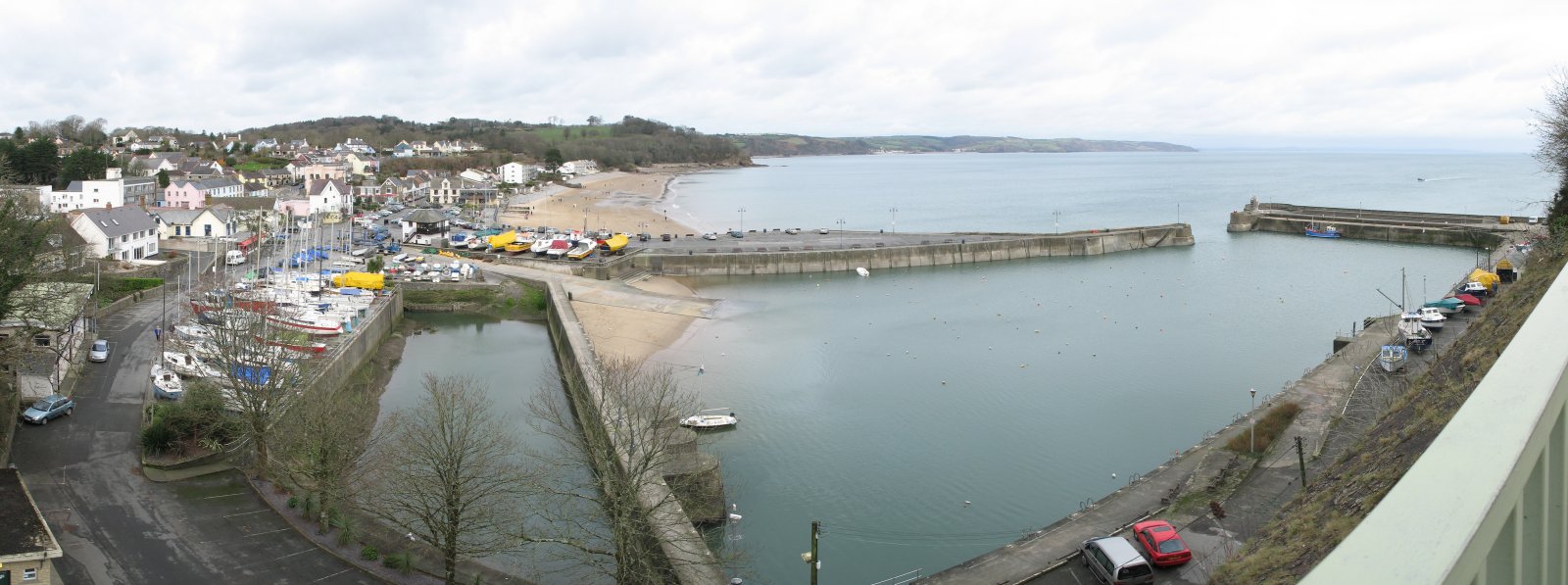
Big sandy beach, busy little harbour and a proper seaside village centre — Tenby's more relaxed neighbour, three miles up the coast.

St Davids
Britain's smallest city — a cathedral in a hollow, Whitesands Bay up the road, and the wildest, most beautiful corner of the national park all around.