Tafarn Sinc
PubClunderwen, SA66 7QU
- Phone
- +44 1437 532214
- Website
- tafarnsinc.cymru
 Photo: Nilfanion (CC BY-SA 4.0)
The highest ground in Pembrokeshire, with Bronze Age cairns on top and the Stonehenge bluestone outcrops along the ridge to the east.
Pembrokeshire is a low county and the Preselis are its exception: a whaleback ridge of open common in the north-east, treeless, boggy and full of prehistory. Foel Cwmcerwyn at 536m is the top of it and the highest point in the county.
Start at Bwlch Gwynt, the small car park where the B4329 crosses the ridge — the name means "windy pass" and it is not ironic. Take the track east and south-east up the flank of the hill, with the forestry at Pantmaenog on your left. The climb is steady rather than steep, the ground is rough, and it stays wet in the hollows well into summer.
The summit carries a trig point and several Bronze Age burial cairns, which is worth thinking about: people were hauling stone up here 4,000 years ago to bury their dead where everyone could see. The view on a clear day is the reason. South over the whole of Pembrokeshire to the coast, west to the sea beyond Fishguard, north across Cardigan Bay, and — on the rare properly clear day — the Wicklow Mountains in Ireland, the Gower, the Brecon Beacons and even the outline of Snowdonia. Most days you'll get some of that and not all of it.
Return the same way, or extend east along the ridge on the Golden Road, the ancient trackway that runs the length of the Preselis and has been in use since the Neolithic. Out that way lie Carn Menyn and Carn Goedog, rocky outcrops of spotted dolerite. Geological work has traced the Stonehenge bluestones to this ridge, with Carn Goedog identified as a source of much of the dolerite and the rhyolite coming from Craig Rhos-y-felin nearby. How the stones got to Wiltshire is still argued over. Standing on the outcrops, the question feels a lot more physical than it does in a book.
Navigation. Take an OS map and a compass and know how to use them. The ridge is featureless, the paths are sheep tracks as much as anything, and cloud comes down fast.
Nearby. Pentre Ifan, the finest Neolithic cromlech in Wales, is a short drive north and takes ten minutes to visit. Newport is the nearest town with food, twenty minutes away.
With children. This isn't the walk for small legs. The Gwaun Valley or Llys-y-frân are better options in the same part of the county.
Nearest forecast point: Preseli Hills
dry for the next few hours, around 9°C, breezy, gusts near 20 mph.
01:00
9°
Clear
W 20 mph
02:00
9°
Clear
W 20 mph
03:00
9°
Clear
W 20 mph
04:00
9°
Clear
NW 19 mph
05:00
8°
Clear
NW 19 mph
06:00
8°
Clear
NW 18 mph
07:00
8°
Clear
NW 18 mph
08:00
8°
Clear
NW 19 mph
Forecast from MET Norway, used under CC BY 4.0. It's a forecast for the nearest of six points across the county, not for this exact spot — on a coast this shaped, one headland can be in sun and the next in rain.
The light goes gold from about 17:55.
Calculated for these coordinates, accurate to a minute or so. A cliff or a headland to your west will take the sun sooner than this suggests.
FISHGUARD · about 10 miles away
Low water
02:08
Sat 10 Oct · 0.8m
High water
07:46
Sat 10 Oct · 4.7m
Low water
14:14
Sat 10 Oct · 0.9m
High water
20:02
Sat 10 Oct · 5.0m
Predicted times from the UK Hydrographic Office. Wind and pressure shift real water levels, and the tide at a specific cove can run earlier or later than its port. Never plan a tidal crossing on this alone.
Open moorland with no waymarks, no shelter and very few landmarks. In mist this is a compass-and-map exercise and people do get lost up here — do not rely on a phone. The ground is boggy in the dips and the paths are not surfaced. Ponies, sheep and cattle graze the common: give them room and keep dogs on leads, especially in lambing season. Weather on the ridge is markedly worse than in the valleys.
The nearest pubs, cafés and restaurants to the start and finish. Check hours before you count on one.
Clunderwen, SA66 7QU
2.3km away · about 35 min walk
Hand-picked places to stay within about 4 miles, nearest first. Our picks are data-driven — we haven’t stayed — and we earn a commission when you book through a partner link. How that works.

Maenclochog · Sleeps 6 · 3 beds
Bookable via holidaycottages.co.uk
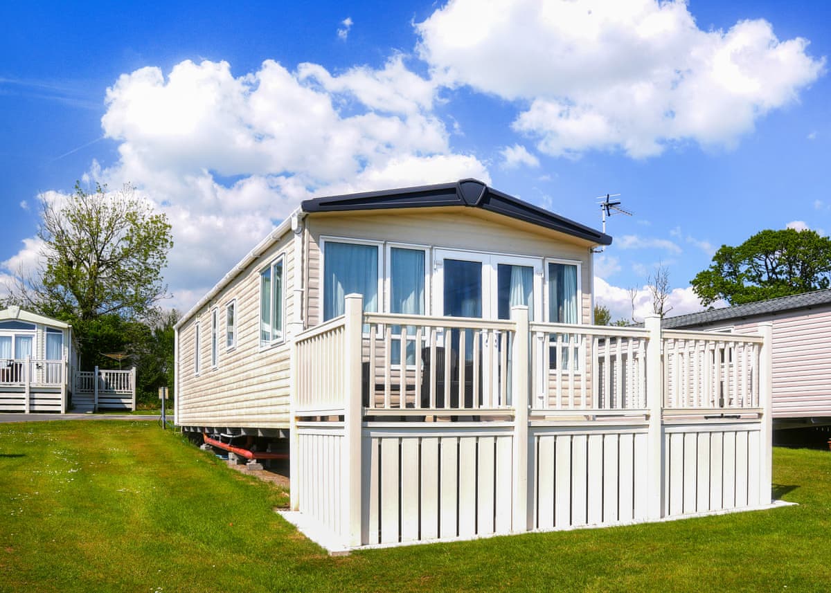
Narberth · Sleeps 6
4.8 · 4 reviews on Hoseasons
Bookable via Hoseasons

Narberth · Sleeps 3 · 1 bed
Bookable via holidaycottages.co.uk
No reports yet — walked Foel Cwmcerwyn and the Preseli Ridge? Tell people how it went: conditions, parking, how long it really took.

A full circuit of Pembrokeshire's biggest reservoir on woodland and lakeside paths, with a short surfaced section by the dam for easier legs.
7.5 miles · 3½–4 hours · Moderate

A sheltered walk through ancient oak woodland in a glacial meltwater channel, in a valley that still keeps the old New Year in January.
3.5 miles · 1½–2 hours · Easy

Straight up from the town onto a 337m crag covered by an Iron Age hillfort, with the whole of Newport Bay laid out below.
5 miles · 3 hours · Moderate
Distances and times are approximate. Conditions on the Coast Path change with the weather and the season — take a map, and check tide times and firing times where they apply.