Ocean Cafe, Bar & Restaurant
RestaurantEnfield Road, Broad Haven, SA62 3JG
Broad Haven's seafront café-bar-restaurant — breakfasts through to evening meals on the front, with event nights through the year.
Hygiene 5/5Sea view
 Photo: Markus G. Klötzer (CC BY-SA 4.0)
A short stage with the best pub stop on the path a mile in, then quiet cliffs to a cove with a church almost on the beach.
This is a manageable half-day rather than a full stage, and it takes in the prettiest village on St Brides Bay.
Start at Broad Haven and get the tide right, because there are two ways to the next village. At low water you can simply walk south along the sand and round the rocks into Little Haven in about fifteen minutes — a good walk over a shore full of rock pools, past the rock arches at the southern end of the beach. At high water that route is under the sea and you take the road and path over the headland instead. It is not a long detour but people do get caught out.
Little Haven is a single row of buildings around a small sandy cove between two headlands, with pubs on the seafront and a slipway where the lifeboat used to launch. It is more or less impossible to walk through without stopping. If you're going to eat once on this stage, eat here.
Out of the village the path climbs sharply onto Borough Head and the crowds disappear. From the top you get the full sweep of St Brides Bay: Skomer and the Marloes peninsula ahead, Ramsey Island right across the water, and the shipping working in and out of the Haven behind the headlands to the south.
The next couple of miles run past Mill Haven and Brandy Bay — steep, narrow coves with no road access and no facilities, which is the point of them. The cliff here is soft in places and the National Park has moved the path inland at a few spots where the edge has slipped; follow the waymarks rather than desire lines.
St Brides Haven at the finish is a small, sheltered pebble-and-sand cove on the northern shore of the Haven's mouth. There's a limekiln, a slipway, a National Trust parking area, and the church of St Bridget sitting a few metres above the beach — one of the most exposed churchyards in Wales, and the sea has taken bits of it over the years. There are no shops, no café and no toilets beyond the basics.
Where to finish. Nothing at St Brides. Walk back to Little Haven, or drive on to Marloes.
Doing it easy. Broad Haven to Little Haven and back along the beach, tide permitting, is under a mile each way, flat, and one of the best short family walks in the county.
Nearest forecast point: St Brides Bay
dry for the next few hours, around 12°C, breezy, gusts near 24 mph.
01:00
12°
Fair
W 24 mph
02:00
12°
Clear
W 24 mph
03:00
12°
Clear
NW 24 mph
04:00
12°
Clear
NW 24 mph
05:00
12°
Fair
NW 23 mph
06:00
12°
Clear
NW 22 mph
07:00
12°
Clear
NW 22 mph
08:00
12°
Clear
NW 23 mph
Forecast from MET Norway, used under CC BY 4.0. It's a forecast for the nearest of six points across the county, not for this exact spot — on a coast this shaped, one headland can be in sun and the next in rain.
The light goes gold from about 17:57.
Calculated for these coordinates, accurate to a minute or so. A cliff or a headland to your west will take the sun sooner than this suggests.
Little Haven · about 1 miles away
Low water
01:07
Sat 10 Oct · 0.7m
High water
06:52
Sat 10 Oct · 5.9m
Low water
13:20
Sat 10 Oct · 0.7m
High water
19:09
Sat 10 Oct · 6.1m
Predicted times from the UK Hydrographic Office. Wind and pressure shift real water levels, and the tide at a specific cove can run earlier or later than its port. Never plan a tidal crossing on this alone.
Constants from 15 days' observations.
The beach route between Broad Haven and Little Haven is only passable for a few hours around low water — check the tide table, and if in doubt take the road over the headland instead, which takes ten minutes. West of Little Haven the cliffs are unfenced and undercut in places, and the path has been diverted inland at points where the edge has gone. Mill Haven and Brandy Bay are steep-sided coves with no easy exit once the tide is in.
The nearest pubs, cafés and restaurants to the start and finish. Check hours before you count on one.
Enfield Road, Broad Haven, SA62 3JG
Broad Haven's seafront café-bar-restaurant — breakfasts through to evening meals on the front, with event nights through the year.
450m away · about 5 min walk
Japanese kitchen with rooms in Broad Haven — an unexpected find on St Brides Bay, with a top hygiene score.
500m away · about 5 min walk
35A Enfield Road, Broad Haven, SA62 3JW
550m away · about 10 min walk
2 Marine Road, Broad Haven, SA62 3JR
Seafood restaurant on Marine Road, Broad Haven.
650m away · about 10 min walk
Hand-picked places to stay within a mile or so, nearest first. Our picks are data-driven — we haven’t stayed — and we earn a commission when you book through a partner link. How that works.

Broad Haven · 3 beds
Bookable via holidaycottages.co.uk

Broad Haven · Sleeps 2 · 2 beds
Bookable via holidaycottages.co.uk
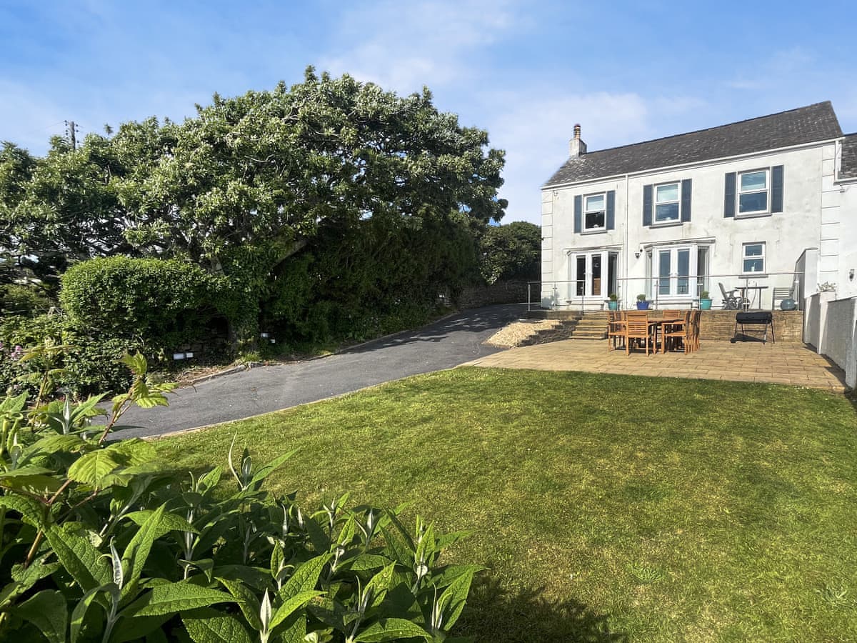
Little Haven · Sleeps 9 · 5 beds
Bookable via cottages.com
OpenStreetMap
A GPX track for this stage, traced from the Coast Path as mapped on OpenStreetMap — 6.8 miles of it. Load it into a watch, a phone app or a handheld GPS.
© OpenStreetMap contributors, ODbL. Traced from the mapped route, not a recorded walk, so treat it as a guide and not a substitute for a map and compass — and check tide and firing times before you set out. Route data checked 2026-10-09.
No reports yet — walked Broad Haven to St Brides Haven via Little Haven? Tell people how it went: conditions, parking, how long it really took.

Along the top of St Brides Bay past the ruins of a colliery that mined coal out under the sea, with four beaches on the way.
7 miles · 3½–4 hours · Moderate
The Marloes peninsula in one day: Musselwick Sands, the Skomer boats at Martin's Haven, the mile of Marloes Sands, then round St Ann's Head past the beach where Henry Tudor landed in 1485.
11 miles · 5–6 hours · Moderate
The path changes character completely: an easy half-day along the north shore of the Milford Haven waterway, timed around the tide at Sandy Haven, ending among the marina and museums of the town.
6 miles · 2½–3 hours · Easy
Distances and times are approximate. Conditions on the Coast Path change with the weather and the season — take a map, and check tide times and firing times where they apply.