Asa's Bar
Bar2 Victoria Road, Milford Haven, SA73 3AB
Bar on Victoria Road by Milford's town centre.
The path changes character completely: an easy half-day along the north shore of the Milford Haven waterway, timed around the tide at Sandy Haven, ending among the marina and museums of the town.
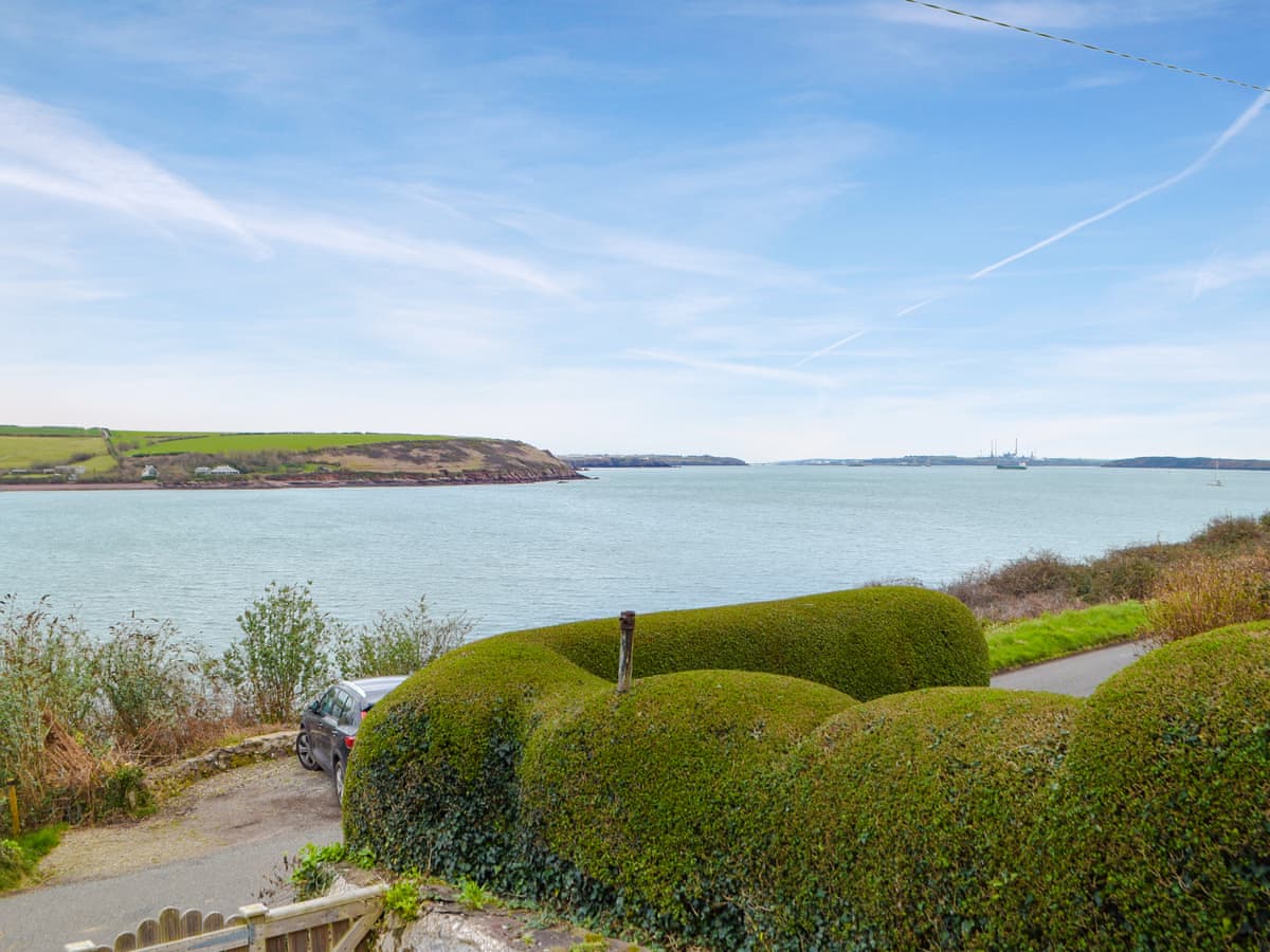
At Sandy Haven the Coast Path stops being about Atlantic cliffs and becomes something stranger and, in its own way, just as interesting: a walk along one of the great deepwater harbours of the world. Nelson called the Milford Haven waterway one of the finest natural harbours he had seen, and the supertankers easing past the pilot boats make the point for him.
First, the tide. The crossing of the Sandy Haven pill is by stepping stones and is only there at all for a couple of hours either side of low water; get it wrong and the detour by road adds four miles of lanes. Every guidebook says plan around it, and every season somebody doesn't.
Beyond the pill the path runs through woods and field edges along the shore, and honesty requires saying what you will see: the jetties of the South Hook LNG terminal striding out into the water, tankers at their moorings, and the working plumbing of the energy industry that has kept this town alive since the oil era began in the 1960s. Some walkers write this stretch off; taken on its own terms — big ships, big water, big sky — it has a fascination the postcard coast can't offer.
Gelliswick Bay gives you a beach and the fort on its hill, and then the path arrives in Milford Haven proper: a planned town (laid out in the 1790s, with early input from whalers from Nantucket), a marina that has grown a waterfront of restaurants and a hotel, and the town museum in a former whale-oil warehouse telling the whole improbable story.
Nearest forecast point: The Haven
dry for the next few hours, around 13°C, gusting to 26 mph — hold on to the windbreak.
01:00
13°
Fair
W 26 mph
02:00
12°
Clear
W 26 mph
03:00
12°
Clear
NW 25 mph
04:00
12°
Clear
NW 24 mph
05:00
12°
Clear
NW 24 mph
06:00
12°
Fair
NW 23 mph
07:00
12°
Clear
NW 23 mph
08:00
12°
Clear
NW 24 mph
Forecast from MET Norway, used under CC BY 4.0. It's a forecast for the nearest of six points across the county, not for this exact spot — on a coast this shaped, one headland can be in sun and the next in rain.
The light goes gold from about 17:57.
Calculated for these coordinates, accurate to a minute or so. A cliff or a headland to your west will take the sun sooner than this suggests.
Dale Roads · about 2 miles away
High water
06:37
Sat 10 Oct · 7.0m
Low water
12:49
Sat 10 Oct · 0.6m
High water
18:54
Sat 10 Oct · 7.2m
Low water
01:11
Sun 11 Oct · 0.6m
Predicted times from the UK Hydrographic Office. Wind and pressure shift real water levels, and the tide at a specific cove can run earlier or later than its port. Never plan a tidal crossing on this alone.
The crossing at Sandy Haven is the whole game: the stepping-stone route is only passable for roughly two and a half hours either side of low water, and the alternative is a four-mile road loop. Check tide times before you set out and build the day around them. The waterway shore has soft mud in places — stay on the path.
The nearest pubs, cafés and restaurants to the start and finish. Check hours before you count on one.
2 Victoria Road, Milford Haven, SA73 3AB
Bar on Victoria Road by Milford's town centre.
100m away · about 5 min walk
100m away · about 5 min walk
The Docks, Milford Haven, SA73 3AF
Bistro at the old sail loft in Milford's docks.
150m away · about 5 min walk
Nelson Quay, Milford Marina, Milford Haven, SA73 3AH
Café on the marina at Milford Waterfront.
200m away · about 5 min walk
Brookside, St Ishmaels, SA62 3TE
Village pub at St Ishmaels on the Dale peninsula — hygiene score shown as published.
1.7km away · about 25 min walk
Hand-picked places to stay within about 2 miles, nearest first. Our picks are data-driven — we haven’t stayed — and we earn a commission when you book through a partner link. How that works.

St Ishmaels · Sleeps 7 · 3 beds
Bookable via holidaycottages.co.uk

St Ishmaels · Sleeps 8 · 4 beds
Bookable via holidaycottages.co.uk
Dale · Sleeps 2 · 1 bed
Bookable via cottages.com
OpenStreetMap
A GPX track for this stage, traced from the Coast Path as mapped on OpenStreetMap — 5.5 miles of it. Load it into a watch, a phone app or a handheld GPS.
© OpenStreetMap contributors, ODbL. Traced from the mapped route, not a recorded walk, so treat it as a guide and not a substitute for a map and compass — and check tide and firing times before you set out. Route data checked 2026-10-09.
No reports yet — walked Sandy Haven to Milford Haven? Tell people how it went: conditions, parking, how long it really took.

Round the exposed corner where the Haven meets the Atlantic, from a sheltered bay with a café to the wildest surf beach in Wales.
6 miles · 3–3½ hours · Moderate

A gentle stage along the north shore of the Haven with two tidal stepping-stone crossings that will add four miles to your day if you get them wrong.
7 miles · 3½–4 hours · Moderate

A full-day circuit of the peninsula that guards the mouth of the Milford Haven waterway, past a lighthouse, three forts and the beach where Henry Tudor landed.
8 miles · 4–5 hours · Moderate
Distances and times are approximate. Conditions on the Coast Path change with the weather and the season — take a map, and check tide times and firing times where they apply.