
Newport (Trefdraeth) · Sleeps 5 · 2 beds
Walk to beachLog burner
- 2 miles away
- Best for: Families of five · walkers
from £512/week
View stay →Bookable via holidaycottages.co.uk
 Photo: Hugh Venables (CC BY-SA 2.0)
A sheltered walk through ancient oak woodland in a glacial meltwater channel, in a valley that still keeps the old New Year in January.
Cwm Gwaun is one of the odder places in Wales, geologically and socially. It's a glacial meltwater channel — carved by torrents of water escaping from beneath the ice sheet at the end of the last glaciation — which is why it's a deep, steep-sided, flat-bottomed valley containing a river far too small to have made it. It runs from the Preselis down to the sea at Fishguard, and it feels entirely enclosed.
Start at the Sychpant picnic site, where there's a free car park, tables and waymarked trails through the woods. The route drops to the Afon Gwaun and follows it upstream through some of the best ancient sessile oak woodland in Pembrokeshire: mossy, lichen-hung, low-canopied Atlantic oak wood of the sort that has largely disappeared from lowland Britain. The bluebells in late April and early May are the main event; wood anemone, wood sorrel and ramsons come before and with them.
Watch the river. Dippers work the stones — dark birds with white bibs that walk underwater — and grey wagtails are common. There are otters, though seeing one takes luck and an early start. Pied flycatchers and redstarts breed in the woods in summer.
The path climbs gently out of the trees to give you a view up and down the valley before dropping back through the woods to the picnic site. There are short steep bits and a few sets of steps, but nothing that counts as hard work.
If you have longer, extend along the valley to Pontfaen, where there's a small church with early Christian inscribed stones in the churchyard and a pub that has been serving the valley for a very long time.
The valley's real claim to fame is calendrical. When Britain switched from the Julian to the Gregorian calendar in 1752, Cwm Gwaun didn't, and the community still marks Hen Galan — the old New Year — on 13 January, with children going round the houses singing for money and sweets. It is not a re-enactment; it never stopped.
Where to eat. The pub at Pontfaen if it's open — the hours are its own business, so don't build the day around it. Fishguard is fifteen minutes down the valley and has proper choice.
With children. This is one of the better easy walks in the county: short, sheltered from the wind, a river to poke about in and a picnic site with tables at the start and finish.
Nearest forecast point: Preseli Hills
dry for the next few hours, around 9°C, breezy, gusts near 20 mph.
01:00
9°
Clear
W 20 mph
02:00
9°
Clear
W 20 mph
03:00
9°
Clear
W 20 mph
04:00
9°
Clear
NW 19 mph
05:00
8°
Clear
NW 19 mph
06:00
8°
Clear
NW 18 mph
07:00
8°
Clear
NW 18 mph
08:00
8°
Clear
NW 19 mph
Forecast from MET Norway, used under CC BY 4.0. It's a forecast for the nearest of six points across the county, not for this exact spot — on a coast this shaped, one headland can be in sun and the next in rain.
The light goes gold from about 17:55.
Calculated for these coordinates, accurate to a minute or so. A cliff or a headland to your west will take the sun sooner than this suggests.
FISHGUARD · about 6 miles away
Low water
02:08
Sat 10 Oct · 0.8m
High water
07:46
Sat 10 Oct · 4.7m
Low water
14:14
Sat 10 Oct · 0.9m
High water
20:02
Sat 10 Oct · 5.0m
Predicted times from the UK Hydrographic Office. Wind and pressure shift real water levels, and the tide at a specific cove can run earlier or later than its port. Never plan a tidal crossing on this alone.
Easy walking, but the woodland paths have roots, steps and short steep sections and get muddy and slippery after rain — proper footwear rather than trainers. The river is small but rises quickly in spate. Some short stretches use the valley lane, which is single track with blind bends. Ticks are present in the bracken from spring to autumn; check afterwards.
Hand-picked places to stay within about 6 miles, nearest first. Our picks are data-driven — we haven’t stayed — and we earn a commission when you book through a partner link. How that works.
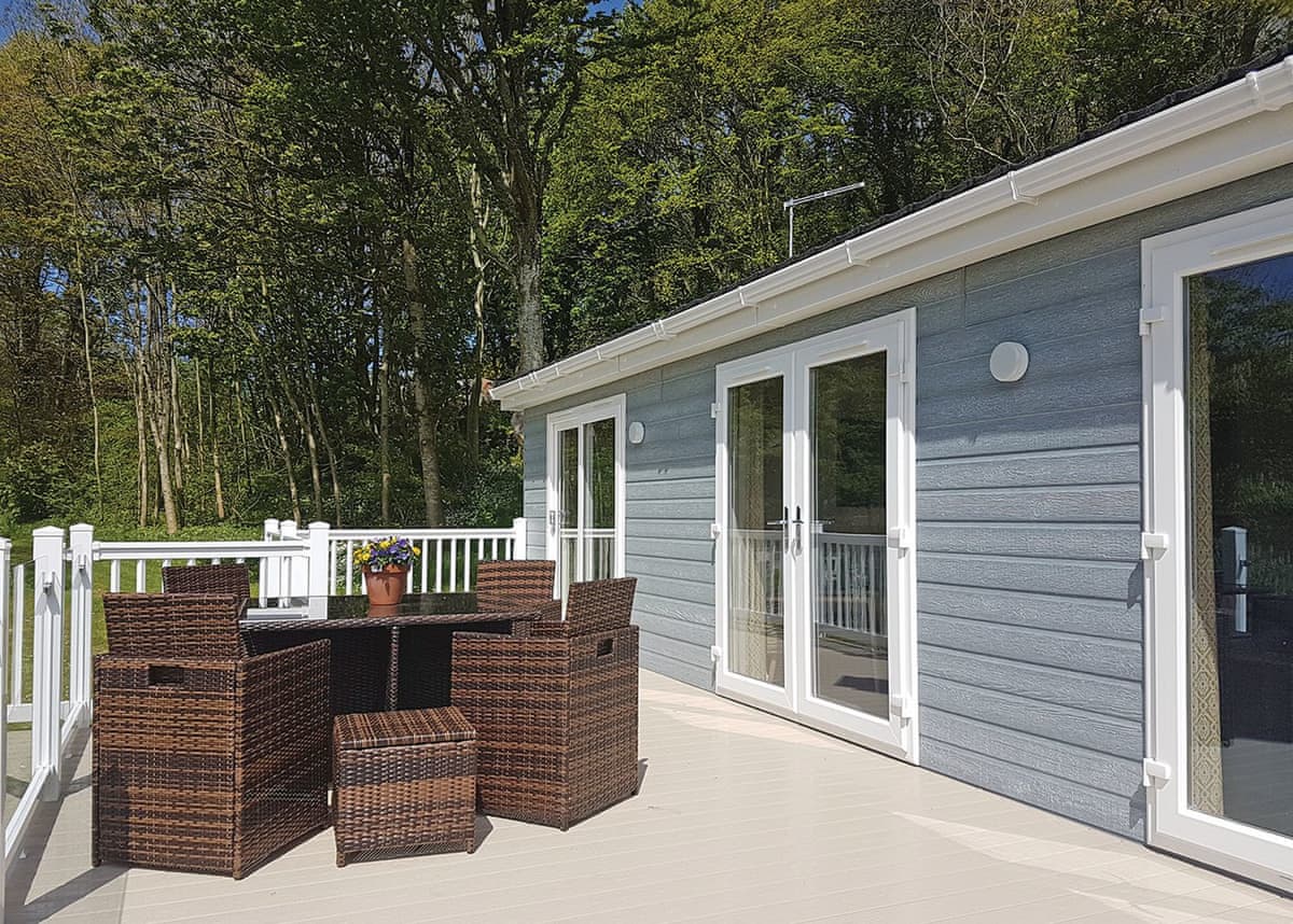
Newport (Trefdraeth) · Sleeps 5 · 2 beds
Bookable via holidaycottages.co.uk
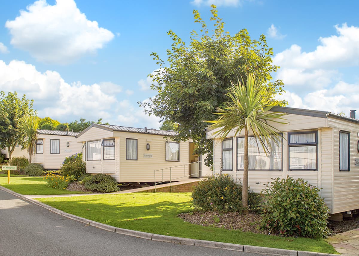
Newport (Trefdraeth) · Sleeps 4
4.8 · 41 reviews on Hoseasons
Bookable via Hoseasons
Fishguard & Goodwick · Sleeps 6
4.4 · 79 reviews on Hoseasons
Bookable via Hoseasons
No reports yet — walked The Gwaun Valley Woodland Walk? Tell people how it went: conditions, parking, how long it really took.

Straight up from the town onto a 337m crag covered by an Iron Age hillfort, with the whole of Newport Bay laid out below.
5 miles · 3 hours · Moderate

A long day linking two towns, over Dinas Head or through the valley behind it, finishing in the harbour where Under Milk Wood was filmed.
12 miles · 6–7 hours · Strenuous

A short, steep circuit of a headland that isn't quite an island, with the ruin of a storm-wrecked church at one end and a beach pub at the other.
3 miles · 1½–2 hours · Moderate
Distances and times are approximate. Conditions on the Coast Path change with the weather and the season — take a map, and check tide times and firing times where they apply.