Beach Shack
CaféBeach café by Tenby's sands — coffee and quick eats where the town meets the water.
 Photo: Eirian Evans (CC BY-SA 2.0)
Limestone cliffs, a double cove with a rock arch, two military ranges to check, and an arrival into Tenby along South Beach.
This is a good stage: varied, not too long, easy to get back from, and it finishes in Tenby, which is the best arrival on the south coast.
From Manorbier the path climbs east past the castle and immediately runs into the first of the day's complications. Old Castle Head is a Royal Artillery range, and the Coast Path is routed inland around it. Below and beyond lies Presipe, a fine sandy beach reached by a steep path, which closes when the range is active.
Then comes the best bit of the stage. Skrinkle Haven and Church Doors are two coves separated by a fin of limestone with a natural arch cut through it — from the right angle it looks like a doorway, hence the name. A long metal staircase drops to the sand at Skrinkle. Both coves are completely cut off at high tide and the walls are sheer, so check the tide table before you go down and don't sit out a rising tide at the back of the beach.
Past Skrinkle the path runs above Lydstep Haven, a sheltered bay largely occupied by a holiday park, and then out onto Lydstep Point, a National Trust headland with a short waymarked loop round it. This is the best view of Caldey Island on the whole coast — the monastery, the lighthouse and the beach at Priory Bay laid out across the water. Caldey has been a monastic island on and off since the 6th century and the Cistercian community there still runs boats from Tenby harbour in season.
East again over Proud Giltar and along the cliffs above the Ministry of Defence ranges at Giltar Point. When the Penally range is firing, the path is closed here and diverted inland via the road and the path beside the railway through Penally village — check the flags.
The final mile is flat: down onto Tenby South Beach and a mile and a half of sand with the town, the walls and St Catherine's Island getting closer the whole way. If the tide is out it's a genuinely great finish.
Where to finish. Tenby has more choice than the rest of the county put together — the harbour, Tudor Square and the streets inside the walls.
Getting back. The train from Tenby to Manorbier takes a few minutes and runs all year, which is the easy answer.
Nearest forecast point: Tenby
dry for the next few hours, around 12°C, gusting to 26 mph — hold on to the windbreak.
01:00
12°
Clear
W 26 mph
02:00
12°
Clear
W 25 mph
03:00
12°
Clear
W 25 mph
04:00
12°
Clear
W 23 mph
05:00
12°
Clear
W 23 mph
06:00
12°
Clear
W 23 mph
07:00
11°
Clear
W 22 mph
08:00
11°
Clear
NW 23 mph
Forecast from MET Norway, used under CC BY 4.0. It's a forecast for the nearest of six points across the county, not for this exact spot — on a coast this shaped, one headland can be in sun and the next in rain.
The light goes gold from about 17:56.
Calculated for these coordinates, accurate to a minute or so. A cliff or a headland to your west will take the sun sooner than this suggests.
Tenby · about 4 miles away
High water
06:30
Sat 10 Oct · 8.4m
Low water
12:41
Sat 10 Oct · 0.9m
High water
18:47
Sat 10 Oct · 8.6m
Low water
01:03
Sun 11 Oct · 0.9m
Predicted times from the UK Hydrographic Office. Wind and pressure shift real water levels, and the tide at a specific cove can run earlier or later than its port. Never plan a tidal crossing on this alone.
Two firing ranges affect this stage. The Manorbier range at Old Castle Head, just east of Manorbier, and the Penally range at Giltar Point near Tenby both close sections of coast when firing — red flags fly and the path is diverted inland, in Giltar's case along the road and railway path through Penally. Check firing times before you set off. The metal staircase down to Skrinkle Haven is steep, and the coves at Skrinkle and Church Doors are cut off well before high water — people get stranded there every summer. Cliff edges are unfenced and the limestone is undercut in places.
The nearest pubs, cafés and restaurants to the start and finish. Check hours before you count on one.
Beach café by Tenby's sands — coffee and quick eats where the town meets the water.
50m away · about 5 min walk
100m away · about 5 min walk
Battery Road, Tenby, SA70 7EG
Bar-restaurant at the Waters Edge on Battery Road, above Tenby's South Beach.
100m away · about 5 min walk
Café shack behind Tenby South Beach — the flip-flops-and-coffee stop on the Esplanade side.
100m away · about 5 min walk
Manorbier's village local, five minutes from castle and beach.
600m away · about 10 min walk
1.8km away · about 25 min walk
Hand-picked places to stay within a mile or so, nearest first. Our picks are data-driven — we haven’t stayed — and we earn a commission when you book through a partner link. How that works.
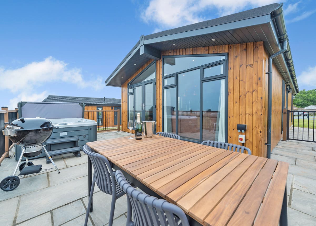
Manorbier · Sleeps 4
5.0 · 55 reviews on Hoseasons
Bookable via Hoseasons
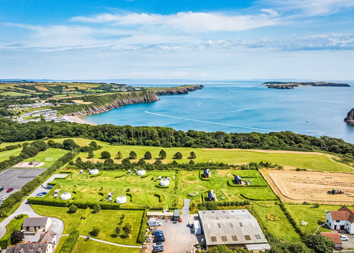
Tenby · Sleeps 4
4.8 · 51 reviews on Hoseasons
Bookable via Hoseasons

Tenby · Sleeps 6 · 3 beds
Bookable via holidaycottages.co.uk
OpenStreetMap
A GPX track for this stage, traced from the Coast Path as mapped on OpenStreetMap — 5.3 miles of it. Load it into a watch, a phone app or a handheld GPS.
© OpenStreetMap contributors, ODbL. Traced from the mapped route, not a recorded walk, so treat it as a guide and not a substitute for a map and compass — and check tide and firing times before you set out. Route data checked 2026-10-09.
No reports yet — walked Manorbier to Tenby via Skrinkle and Lydstep? Tell people how it went: conditions, parking, how long it really took.

A short, sharp stage between two good beaches, taking in a bay you can only reach on foot and finishing under a Norman castle.
4.5 miles · 2½ hours · Moderate

A flat, waymarked circuit of the millpond with a castle at one end and the only restored tidal mill in Wales at the other.
3 miles · 1½ hours · Easy

The best short walk in south Pembrokeshire: a cliff path to Barafundle, then inland along three flooded limestone valleys full of lilies.
5 miles · 2½–3½ hours · Moderate
Distances and times are approximate. Conditions on the Coast Path change with the weather and the season — take a map, and check tide times and firing times where they apply.