 Photo: Gordon Hatton (CC BY-SA 2.0)
31-33 Main Street, Solva, SA62 6UT
Solva's harbourside local — outside tables by the boats at high tide.
Hygiene 5/5Dogs welcome
 Photo: Eirian Evans (CC BY-SA 2.0)
A relentlessly up-and-down stage between a drowned-valley harbour and a two-mile shingle beach. Short on paper, hard on the legs.
Solva is a drowned valley — the sea flooded a glacial meltwater channel, leaving a harbour that bends out of sight of the open water, which is why boats have used it for centuries. The lime kilns on the quay are the remains of its trading years.
Climb east out of the harbour and the character of the stage announces itself immediately: this section drops into and climbs out of a series of steep valleys, and the total ascent is far more than the distance suggests. Five miles here is not five miles on the flat.
The high points are the reward. Dinas Fawr is a narrow promontory you can walk out along, with sea on three sides. Nine Wells is the spring-fed valley where the water for St Davids used to come from. Between them the path runs high above small, mostly inaccessible coves.
The finish is Newgale: two miles of west-facing shingle and sand, one of the best surf beaches in Wales, and a completely different landscape from the cliffs you've just walked. At low tide the sands are enormous. The shingle bank behind was thrown up by storms, and in bad winters the sea still comes over it.
Where to finish. There's a café and a surf shop at Newgale, and the Duke of Edinburgh is at the top of Newgale Hill. Solva has more choice if you're heading back.
Doing it as an out-and-back makes for a long day. Use the bus.
Nearest forecast point: St Davids
dry for the next few hours, around 14°C, gusting to 27 mph — hold on to the windbreak.
01:00
14°
Clear
W 27 mph
02:00
14°
Clear
W 27 mph
03:00
14°
Clear
W 27 mph
04:00
14°
Clear
W 27 mph
05:00
13°
Fair
W 26 mph
06:00
13°
Clear
NW 25 mph
07:00
13°
Clear
NW 25 mph
08:00
13°
Clear
NW 26 mph
Forecast from MET Norway, used under CC BY 4.0. It's a forecast for the nearest of six points across the county, not for this exact spot — on a coast this shaped, one headland can be in sun and the next in rain.
The light goes gold from about 17:57.
Calculated for these coordinates, accurate to a minute or so. A cliff or a headland to your west will take the sun sooner than this suggests.
Solva · about 1 miles away
Low water
01:15
Sat 10 Oct · 0.7m
High water
06:53
Sat 10 Oct · 5.5m
Low water
13:28
Sat 10 Oct · 0.7m
High water
19:10
Sat 10 Oct · 5.7m
Predicted times from the UK Hydrographic Office. Wind and pressure shift real water levels, and the tide at a specific cove can run earlier or later than its port. Never plan a tidal crossing on this alone.
Constants from 15 days' observations.
Steep descents and climbs into every valley, and the path runs close to the edge in places. Newgale's shingle bank is overtopped by the sea in winter storms — the road behind it closes.
The nearest pubs, cafés and restaurants to the start and finish. Check hours before you count on one.
Photo: Gordon Hatton (CC BY-SA 2.0)31-33 Main Street, Solva, SA62 6UT
Solva's harbourside local — outside tables by the boats at high tide.
0m away · about 5 min walk
100m away · about 5 min walk
250m away · about 5 min walk
250m away · about 5 min walk
 Photo: Andy F (CC BY-SA 2.0)
250m away · about 5 min walk
 Photo: Alan Hughes (CC BY-SA 2.0)
1.3km away · about 20 min walk
Hand-picked places to stay within about 2 miles, nearest first. Our picks are data-driven — we haven’t stayed — and we earn a commission when you book through a partner link. How that works.
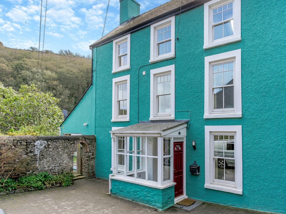
Solva · Sleeps 10 · 5 beds
Bookable via cottages.com

St Davids · Sleeps 6 · 3 beds
Bookable via holidaycottages.co.uk

Solva · Sleeps 12 · 3 beds
Bookable via holidaycottages.co.uk
OpenStreetMap
A GPX track for this stage, traced from the Coast Path as mapped on OpenStreetMap — 5.4 miles of it. Load it into a watch, a phone app or a handheld GPS.
© OpenStreetMap contributors, ODbL. Traced from the mapped route, not a recorded walk, so treat it as a guide and not a substitute for a map and compass — and check tide and firing times before you set out. Route data checked 2026-10-09.
No reports yet — walked Solva to Newgale? Tell people how it went: conditions, parking, how long it really took.

Along the top of St Brides Bay past the ruins of a colliery that mined coal out under the sea, with four beaches on the way.
7 miles · 3½–4 hours · Moderate

A short, spectacular cliff walk between two abandoned quarry harbours, past the flooded slate pit everyone photographs.
3 miles · 1½ hours each way · Easy

Round the headland at the far west of Wales, past an Iron Age fort and a 5,000-year-old burial chamber, with Ramsey Island offshore.
4 miles · 2–3 hours · Moderate
Distances and times are approximate. Conditions on the Coast Path change with the weather and the season — take a map, and check tide times and firing times where they apply.