Runwayskiln Café
Café- Opening hours
- Bank holidays, Monday–Saturday: 09:00–17:00
 Photo: Rob Purvis (CC BY-SA 2.0)
Round the tip of the peninsula from one of Wales's best beaches to the boat slip for Skomer, with seals in the coves below.
From the car park, drop down the path to Marloes Sands — a long beach under tilted, banded cliffs that geologists come a long way to look at. At low tide you can walk most of its length. At the far western end sits Gateholm, a flat-topped island accessible at low water, with the outlines of over a hundred ancient hut platforms on top.
Climb back to the Coast Path and follow it west around the peninsula. The cliffs here are constantly busy in spring and early summer — guillemots, razorbills, fulmars and choughs.
At the tip you reach the Deer Park, which has no deer: it's a walled headland enclosed in the 18th century for a deer park that never happened. It's now one of the best places in Pembrokeshire to stand still and look. Grey seals haul out in the coves below, and from late August they pup there.
Martin's Haven below is where the Skomer boat leaves from. If you want to see puffins — April to late July, and the island is world-famous for its Manx shearwaters — book that separately and early.
Return along the northern side of the peninsula and the lane back to Marloes village, or retrace the coast path if you'd rather stay on the cliff.
Where to finish. The Lobster Pot in Marloes village is the only pub within reach, which makes it either convenient or essential.
Nearest forecast point: St Brides Bay
dry for the next few hours, around 12°C, breezy, gusts near 24 mph.
01:00
12°
Fair
W 24 mph
02:00
12°
Clear
W 24 mph
03:00
12°
Clear
NW 24 mph
04:00
12°
Clear
NW 24 mph
05:00
12°
Fair
NW 23 mph
06:00
12°
Clear
NW 22 mph
07:00
12°
Clear
NW 22 mph
08:00
12°
Clear
NW 23 mph
Forecast from MET Norway, used under CC BY 4.0. It's a forecast for the nearest of six points across the county, not for this exact spot — on a coast this shaped, one headland can be in sun and the next in rain.
The light goes gold from about 17:57.
Calculated for these coordinates, accurate to a minute or so. A cliff or a headland to your west will take the sun sooner than this suggests.
Martin's Haven · about 2 miles away
Low water
01:00
Sat 10 Oct · 0.8m
High water
06:52
Sat 10 Oct · 6.2m
Low water
13:12
Sat 10 Oct · 0.8m
High water
19:09
Sat 10 Oct · 6.4m
Predicted times from the UK Hydrographic Office. Wind and pressure shift real water levels, and the tide at a specific cove can run earlier or later than its port. Never plan a tidal crossing on this alone.
Marloes Sands is unlifeguarded and the tide comes in fast against the cliffs — check the tide before you walk the beach. From late August the coves hold seal pups; stay on the cliff path and keep dogs on leads.
The nearest pubs, cafés and restaurants to the start and finish. Check hours before you count on one.
1.2km away · about 20 min walk
1.5km away · about 20 min walk
 Photo: Basher Eyre (CC BY-SA 2.0)
1.5km away · about 20 min walk
Hand-picked places to stay within a mile or so, nearest first. Our picks are data-driven — we haven’t stayed — and we earn a commission when you book through a partner link. How that works.
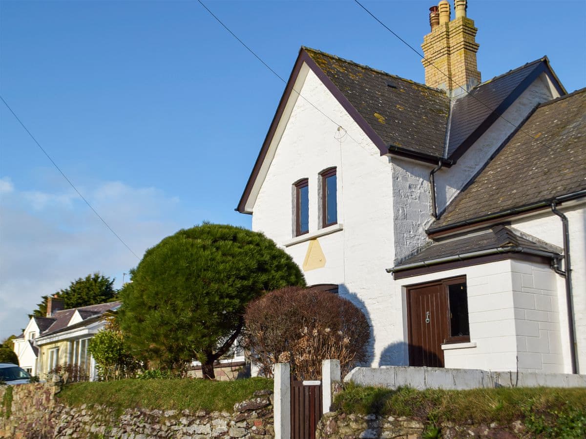
Marloes · Sleeps 4 · 2 beds
Bookable via cottages.com
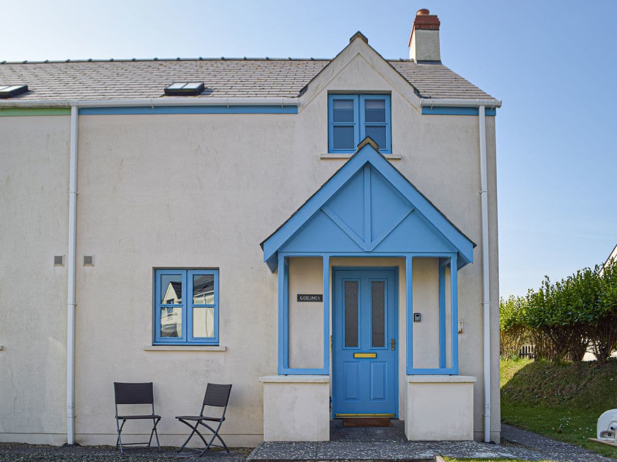
Marloes · Sleeps 4 · 3 beds
Bookable via cottages.com

Marloes · Sleeps 4 · 2 beds
Bookable via holidaycottages.co.uk
No reports yet — walked The Marloes Peninsula and Deer Park? Tell people how it went: conditions, parking, how long it really took.

A gentle stage along the north shore of the Haven with two tidal stepping-stone crossings that will add four miles to your day if you get them wrong.
7 miles · 3½–4 hours · Moderate
A full-day circuit of the peninsula that guards the mouth of the Milford Haven waterway, past a lighthouse, three forts and the beach where Henry Tudor landed.
8 miles · 4–5 hours · Moderate
The Marloes peninsula in one day: Musselwick Sands, the Skomer boats at Martin's Haven, the mile of Marloes Sands, then round St Ann's Head past the beach where Henry Tudor landed in 1485.
11 miles · 5–6 hours · Moderate
Distances and times are approximate. Conditions on the Coast Path change with the weather and the season — take a map, and check tide times and firing times where they apply.