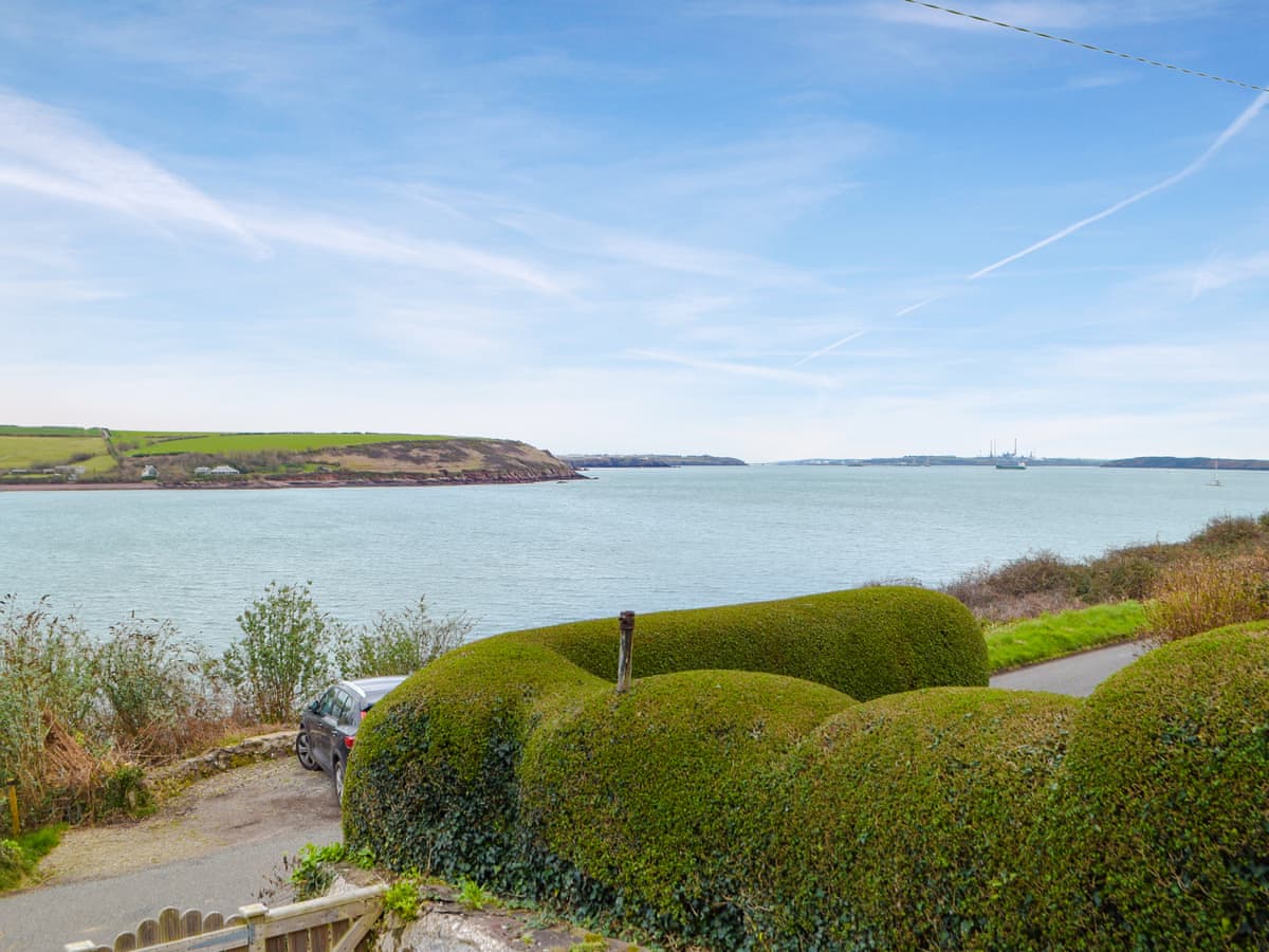
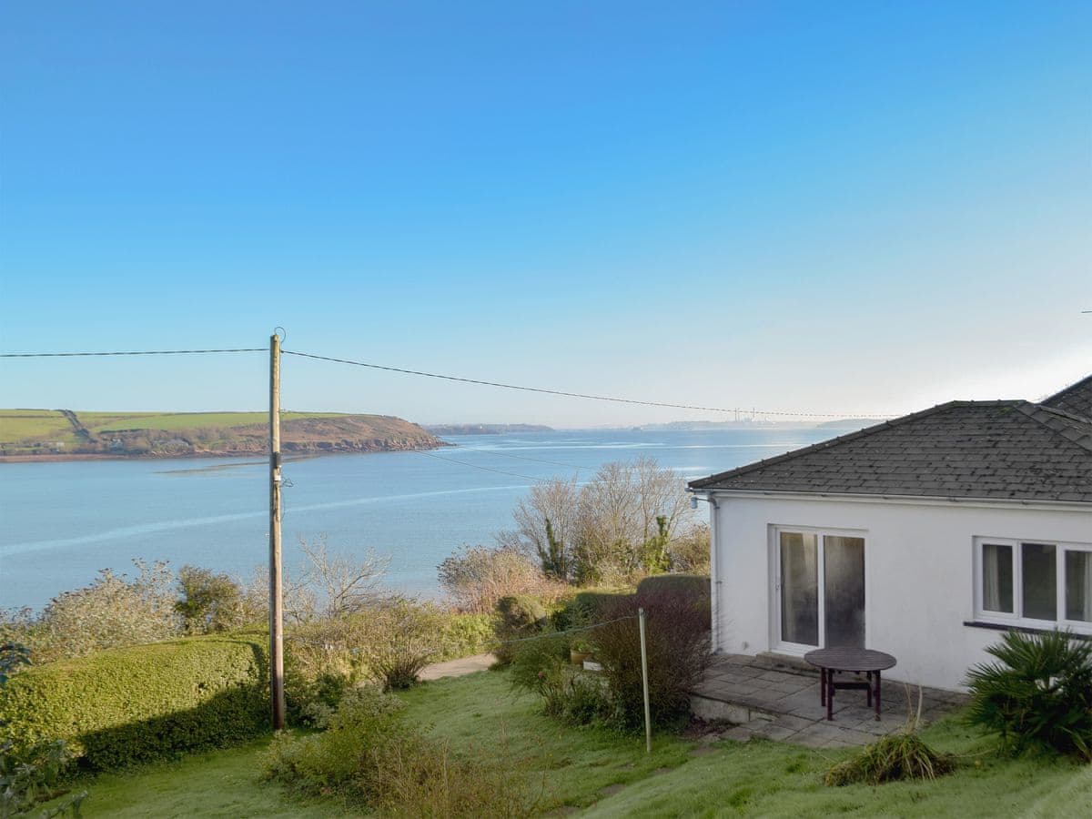
After the Dale peninsula, the Coast Path turns inland-ish and follows the northern shore of the Milford Haven waterway. It's flatter, greener and less dramatic than what came before — and the tides make it more complicated than any other stage on the path.
Get the timing right first. Leaving Dale, the path crosses the Gann on stepping stones a few hundred metres out of the village. Behind them lie the Pickleridge lagoons, old gravel pits now full of brackish water, and a shingle spit that is one of the best wader spots in the county — greenshank, whimbrel, little egret, and in autumn a decent chance of something unusual. If the tide is in, the alternative is a road walk round by Mullock Bridge, which adds a couple of miles and no pleasure.
Beyond the Gann the path climbs gently through fields and woodland edge to Monk Haven, a small stony cove with a startlingly high stone wall across the back of it — an estate wall from the 19th century, with the ruined tower of St Ishmael's church in the trees nearby. It's a good shady lunch stop.
Next is Lindsway Bay, a wide sandy beach below the cliffs with a steep path down, and then Great Castle Head, which carries the ramparts of an Iron Age promontory fort and one of the navigation lights that lines up ships coming into the waterway. Below you, the tankers heading for the terminals are close enough to read the names off.
The stage finishes at Sandy Haven, where a wooded tidal creek — Sandy Haven Pill — cuts inland. The Coast Path crosses it on stepping stones, again only around low water, and the detour if you miss them is a long one inland via Herbrandston. Even if you're finishing here rather than continuing, be aware the lane on the eastern side floods on spring tides.
Where to finish. There's nothing at Sandy Haven itself. Dale has the Griffin on the water, and Herbrandston and Milford Haven are the nearest options at the eastern end.
Shorter option. Dale to Monk Haven and back is about five miles round trip, uses only the Gann crossing, and is the pleasantest part of the stage.