Water's-edge pub on Dale seafront — crab and lobster from the bay, sunsets over the anchorage.
Photo: Rob Purvis (CC BY-SA 2.0)The Dale Peninsula and St Ann's Head
A full-day circuit of the peninsula that guards the mouth of the Milford Haven waterway, past a lighthouse, three forts and the beach where Henry Tudor landed.
- Distance
- 8 miles / 12.9 km
- Time
- 4–5 hours
- Difficulty
- Moderate
- Climbing
- about 250m
- Type
- Circular
- Dogs
- On a lead
The route
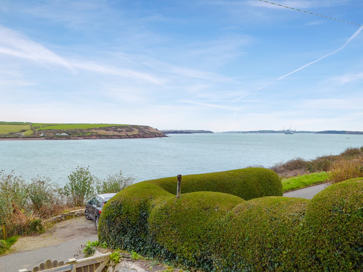
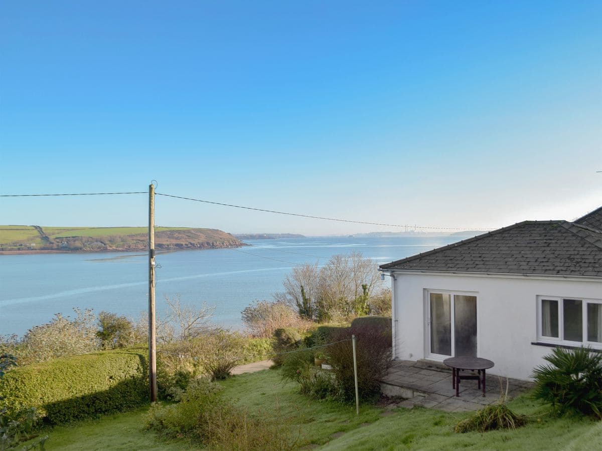
Dale sits on a sheltered anchorage and claims to be the sunniest place in Wales, which is the sort of claim best enjoyed rather than checked.
Walk south from the seafront past Dale Fort, one of the Victorian forts built to defend the Milford Haven waterway and now a field studies centre. The path continues round the eastern side of the peninsula, past a string of small bays — Castlebeach, Watwick, and then Mill Bay.
Mill Bay deserves a pause. On 7 August 1485, Henry Tudor landed here with about 2,000 men after fourteen years of exile, and marched to Bosworth. Two weeks later he was king. There's a small plaque and nothing else, which feels about right.
Round the tip at St Ann's Head, where the lighthouse and coastguard cottages sit above the mouth of the waterway. Every tanker heading for the refineries passes below you. On the western side the sea is open Atlantic and the cliffs take the full weather.
Come back along the western shore over Westdale Bay, a wide sandy beach that looks inviting and is genuinely dangerous to swim at, then take the short field path across the neck of the peninsula back into Dale.
Where to finish. The Griffin Inn is on the water at Dale and does crab and lobster from the bay. It's a five-minute walk from the finish.
Shorter option. Dale to Westdale Bay and back across the neck is about 2 miles and takes under an hour.
Getting there
- Start
- Dale seafront (SA62 3RB)
- Parking
- Pay and display on the Dale seafront.
Before you go
Westdale Bay has strong currents and no lifeguard — it is not a swimming beach. The peninsula is exposed; there is no shelter and no water between Dale and the far side.
Where to eat and drink on this walk
The nearest pubs, cafés and restaurants to the start and finish. Check hours before you count on one.
0m away · about 5 min walk
200m away · about 5 min walk
250m away · about 5 min walk
Beaches on the way
Other walks nearby

The Marloes Peninsula and Deer Park
Round the tip of the peninsula from one of Wales's best beaches to the boat slip for Skomer, with seals in the coves below.
6 miles · 3–4 hours · Moderate
Stack Rocks, the Green Bridge of Wales and St Govan's Chapel
Flat clifftop limestone at the southern tip of Wales, with the best sea arch in the country and a 13th-century chapel wedged in a cleft.
4 miles · 2 hours each way · Easy
Solva to Newgale
A relentlessly up-and-down stage between a drowned-valley harbour and a two-mile shingle beach. Short on paper, hard on the legs.
5 miles · 3 hours · Strenuous
Distances and times are approximate. Conditions on the Coast Path change with the weather and the season — take a map, and check tide times and firing times where they apply.